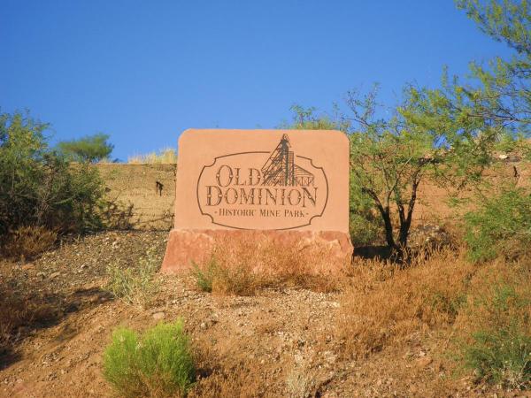
Old Dominion Mine Park
History
The copper extracted from the Old Dominion Mine from 1880 to 1931 was the driving force for the development of the Globe-Miami area. During the reclamation process for the site, the local community petitioned for a park to be developed on this historic site to both promote our regional mining heritage and increase fitness opportunities for residents. After more than a decade of public-private partnership and diligent volunteer work, the Old Dominion Historic Mine Park (ODMP) is now a widely used local resource for gathering and recreation, educates about the history of the site and mining in general, demonstrates sustainable mining development and site reclamation, and also serves to bring tourists to the area. The Gila County Historical Society sponsors the Old Dominion Historic Mine Park Committee and acts as the fiscal agent for the park while the City of Globe holds the legal easement with BHP-Billiton and is responsible for park maintenance.
Access and Directions
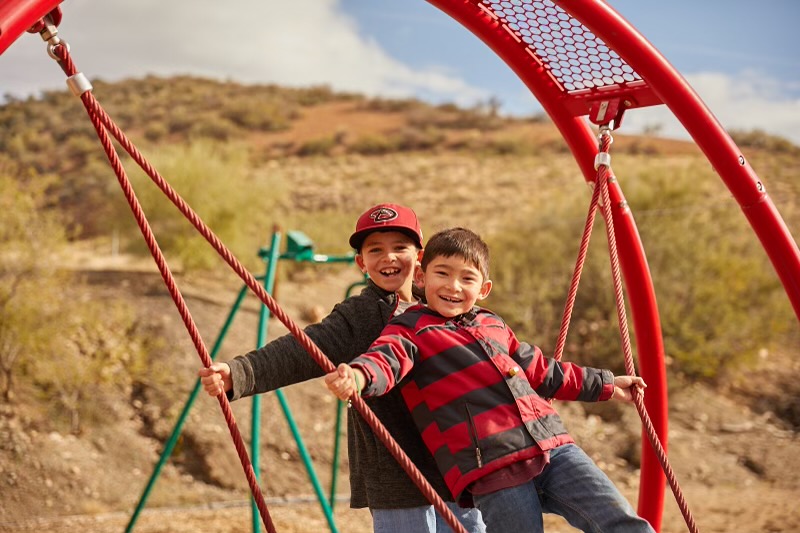
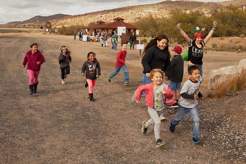
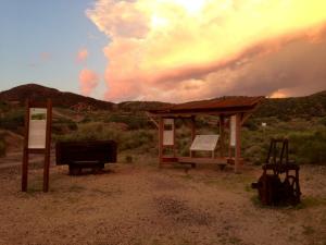
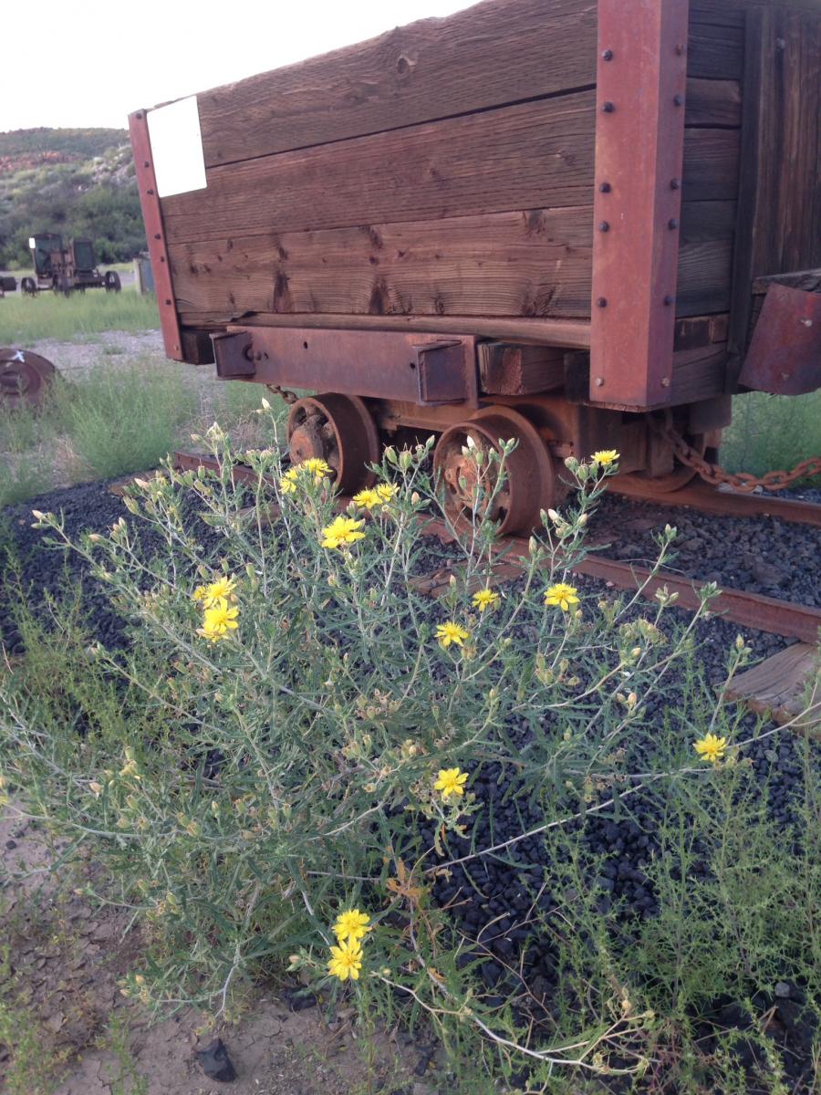
The ODMP is free-of-charge and opens every day from dawn to dusk. The park is located just off of Highway 60 in Globe, AZ about a hundred miles due east of Phoenix. The main park entrance is on Murphy Street (just up the hill from DeMarco’s Italian Restaurant) and the back entrance is accessible behind the ball fields on Noftsger Hill. While most people walk the park, the trails are wide enough to accommodate non-motorized bicycles, wheelchairs, and strollers. At the park entrance, you will find free trail maps, bathrooms, and the drinking fountain. Be sure to stop at the “Welcome Center” next to the ore car for an orientation to the history of the Old Dominion Mine and an overview of the park.
Trails
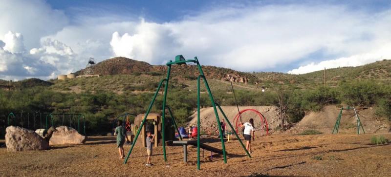
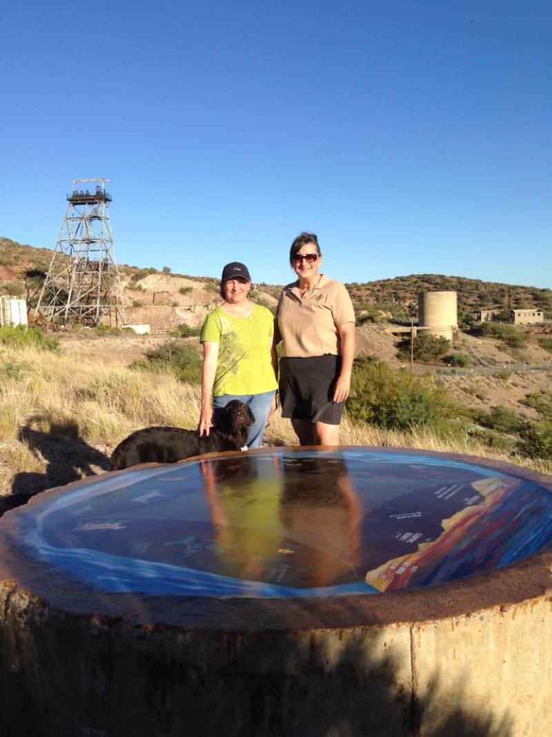
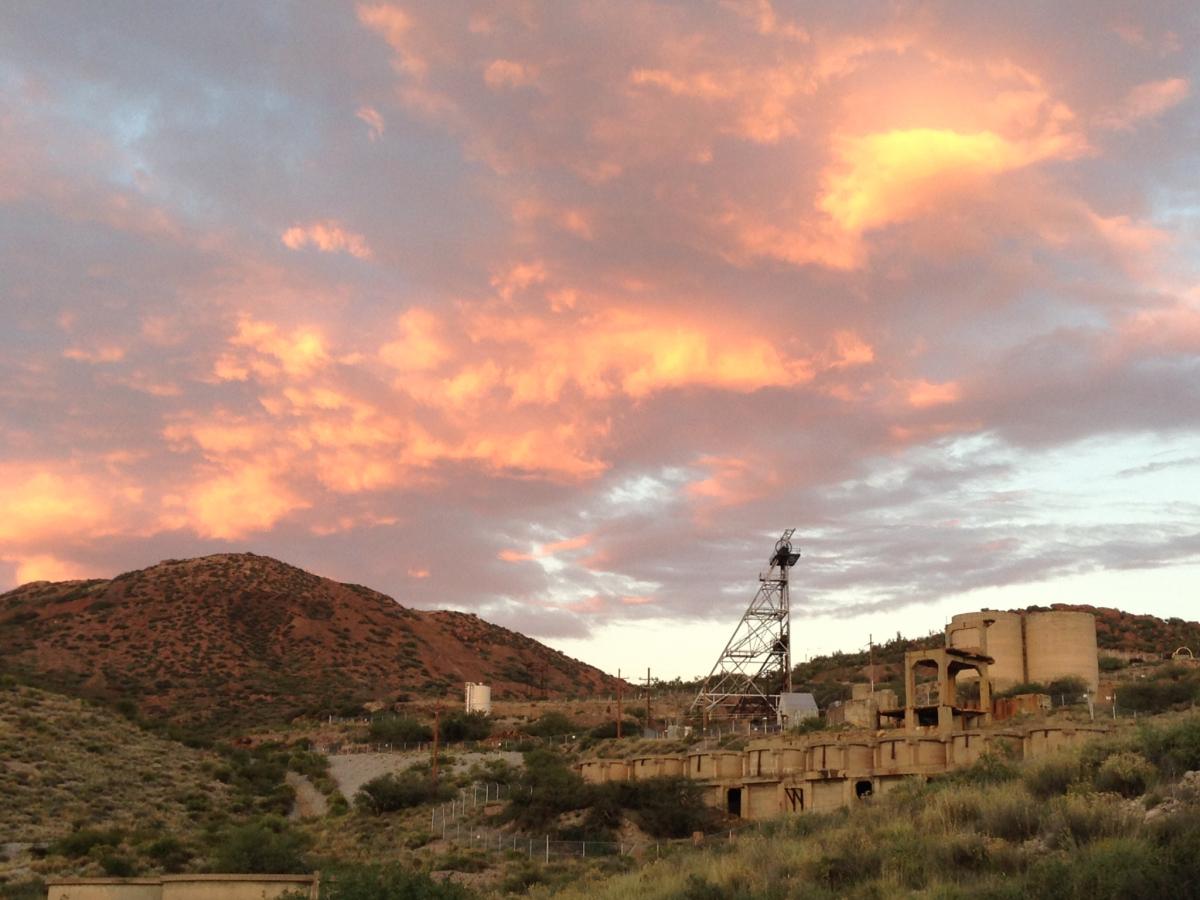
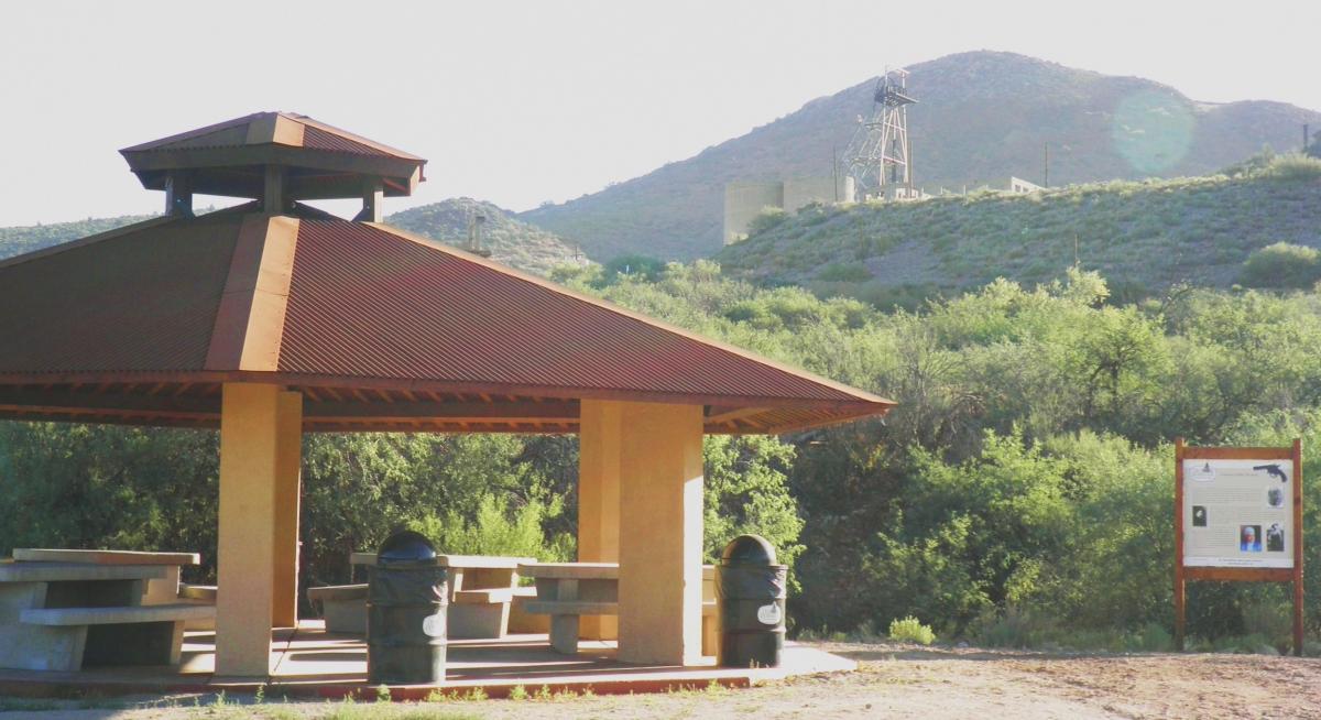
Most of the trails are named for original mine claim names for this location. The trail that starts at the park’s main entrance, Silver Nugget, is flat and offers many of the park amenities, including a “boneyard” of historic mining artifacts, two large picnic pavilions, many of the 35+ educational signs, and a shaded ramada with a picnic table. Besides Silver Nugget, there are several miles of trails for varying fitness levels with Interloper Loop featuring several hills that end at the best vantage spot to view the mine’s prominent head frame and remaining historic structures. Mine Cycle Circle is named because of the series of signs that take a park visitor through the life cycle of mining at this site, including prehistoric mining, the Silver Rush, the Copper Boom, innovations in mining, mine closure, and reclamation. Park Avenue borders the location of the former park in the middle of the mine property and includes Ventilation Vista where a picnic table affords a great overlook of the remaining mine structures on the hillside below the head frame. Buffalo Butte is the highest trail in the park, has a picnic table near the top of the trail, and offers a unique cement compass that identifies the mountains viewed from this amazing vantage place.
Safety
Observing a few safety recommendations may make your visit more enjoyable. First, be wise with the weather as there is little shade on site. Both hydration and sun protection (e.g., sun screen, hats, long-sleeved shirts, etc.) are highly recommended. In the summer months, most guests prefer to visit during the cooler early morning hours or at sunset when a light breeze usually picks up. Second, be advised that the trails turn to sticky mud during and right after heavy rain storms which may make wheelchair travel difficult. Closed-toe shoes may be more comfortable when walking as all of the trails are dirt. Third, be mindful that the site is home to many wild creatures, though very few are out during park hours. Feel free to bring dogs on leashes to enjoy the park and don’t miss the park drinking fountain, ingeniously designed by Globe Public Works staff to work for both humans and canines.
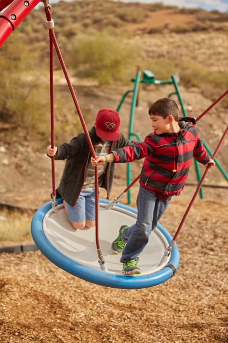
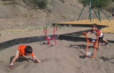
Amenities (not reservable/rentable)
Restrooms
Picnic Areas