The City of Globe has been approved for participation in the Natural Resources Conservation Service Emergency Watershed Protection (EWP) Program, administered through the U.S. Department of Agriculture. This approval marks an important step forward in the City’s ongoing flood recovery and mitigation efforts following recent flood events.
The EWP program is designed to help communities address immediate threats to life, property, and critical infrastructure caused by natural disasters. It is important for residents to understand that EWP is a reimbursement-based federal program, not upfront funding. All work must be evaluated, approved, completed, and documented in accordance with strict federal requirements before reimbursement can occur.
The program operates within a 220-day federal timeline, which includes site evaluation, engineering design, environmental review, construction, and documentation. Because much of Pinal Creek and its tributaries are privately owned, property owner participation is critical to keeping projects eligible and moving forward on schedule. Property owners with land within the creek are being asked to complete Right of Entry (ROE) forms, which allow engineers and specialists to access properties for evaluation and planning purposes only.
“Approval into the NRCS Emergency Watershed Protection Program is an important step forward for Globe,” said Al Gameros, Mayor of the City of Globe. “This program gives us a path to address immediate flood risks in a responsible and structured way. It also reflects the strong collaboration between local, state, and federal partners working together to support our community’s recovery.”
“This approval represents meaningful progress for Globe,” Mayor Gameros said. “We are thankful for the bipartisan support of our state and federal partners, including Congressman Eli Crane and Representative Walt Blackman, as we continue working to reduce flood risks and move our community forward.”
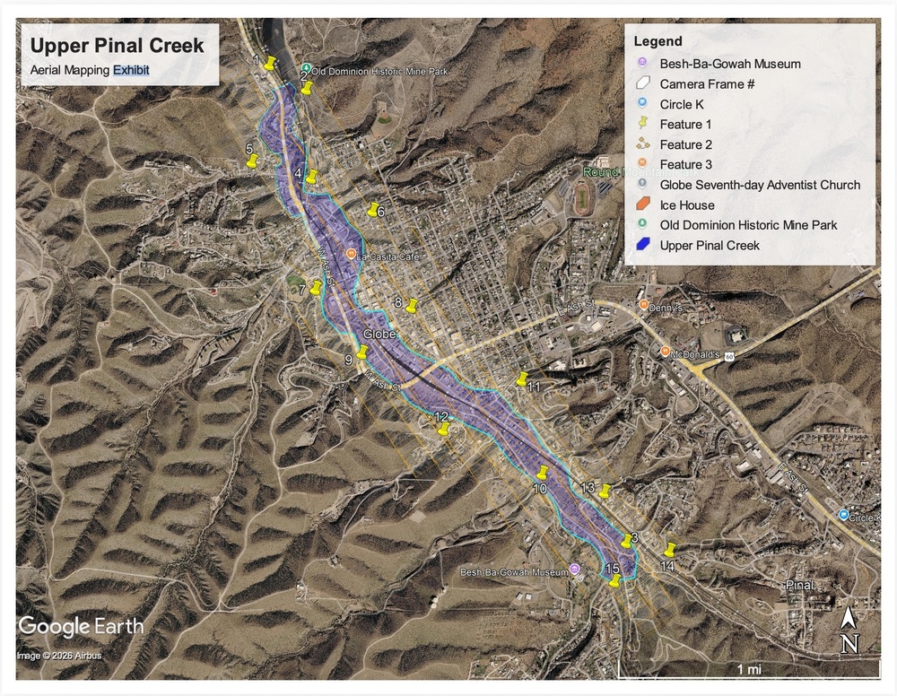
As part of this process, residents may notice survey targets being placed in and around portions of Pinal Creek and nearby areas. These visible markers are used to support upcoming aerial mapping efforts. In the days and weeks ahead, manned aircraft will conduct flights over these areas to collect aerial imagery and LiDAR data. This information will serve as a foundational tool for flood mitigation planning and engineering analysis.
The City asks residents not to disturb survey markers, as they are necessary for accurate data collection and must remain in place temporarily.
Flood mitigation is a structured and methodical process, while much of the work happens behind the scenes, each step is essential to ensuring long-term safety, accountability, and responsible use of public funds.
Residents and property owners seeking more information about the NRCS EWP program, aerial mapping activities, or how to complete a Right of Entry form are encouraged to visit the City of Globe’s Flood Information page.